GPS Data can be loaded into the GPS Spatial Storage, then GPS Data can be used to help with creating Markup Maps.
Viewing GPS Data
- Once GPS Data is loaded into the Spatial Storage it will then be visible in select Map Views. ie: Opening, Activities
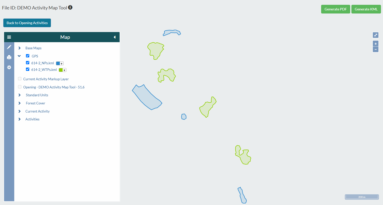
- GPS Data will show up as Orange Lines/Polygons so they are distinguishable from other visible data. (User has the option to change the colour)
- GPS Data can be either traced or used as is in the Markup Map.